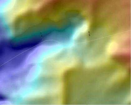
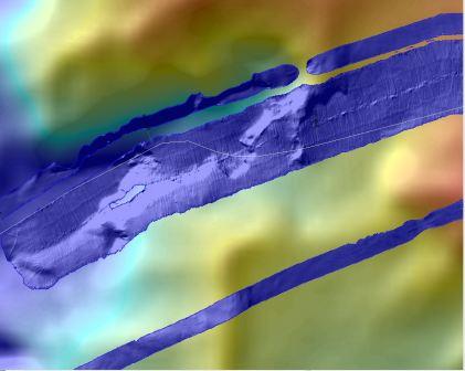
Mallin Consultants has led the way towards improving survey data for cable installations. The requirement that survey equipment be able to identify a 1m boulder and a 2m hole in areas of ploughing originated with Mallin.
However that requirement is not viable with today's hull mounted equipment in over about 800m water. Mallin has therefore been investigating the viability of AUV surveys to "fill the gap" to the 1500m ploughing limit.
The screen shots show a 3km square detail of the continental shelf in 1200m water. The benefits of the AUV survey in identifying obstacles that could upset a plough are clear in the bottom frame.
Multibeam data courtesy of University of Washington and NEPTUNE Canada. AUV data courtesy of MBARI.